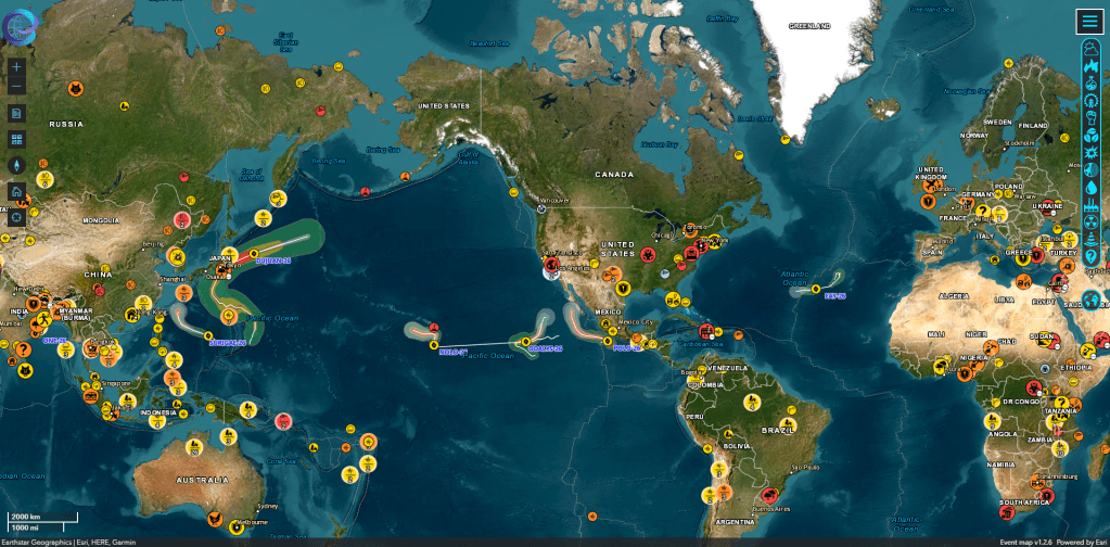
I’m not someone who normally searches for disaster news, but there’s something strangely addictive about the Emergency and Disaster Information Service’s (EDIS) interactive disaster tracking map. It is run by the Hungarian National Association for Distress Radio Signaling and Infocommunications (RSOE).
EDIS tracks emergencies around the world and plots them on an interactive map. You will see earthquakes, floods, forest fires, volcanic eruptions, tropical cyclones, extreme weather events, industrial accidents, safety conflicts and much more.
Each type of event has its own icon that you can click on for more information. A small pop-up window appears detailing the event date, last update, and location. You can also click “View” below the details, which will take you to a separate page with more information. The site also allows you to filter events by category if you only want to see things like earthquakes, storms, or wildfires.
EDIS even tracks tsunamis, avalanches, droughts, epidemics, nuclear accidents, infrastructure failures, and even some space-related events. Mass wasp attack on a Sri Lankan tea plantation in September? Yes, EDIS tracked it too.
I usually visit the EDIS site before traveling internationally or after reading something in the news so I can locate it on a map. But I always end up clicking aimlessly to see what else is happening in different parts of the world.
Of course, I wouldn’t recommend replacing official local emergency alerts with EDIS. But for a quick global overview, it’s a great resource and, interestingly, fascinating to explore.
For more tips, tricks, and recommendations for fun and useful apps and websites, be sure to subscribe to our PCWorld newsletter. Try this newsletter.